
Gallery
Real rides, raw terrain, and unforgettable moments
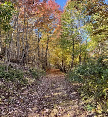
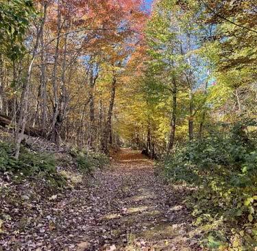
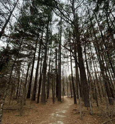
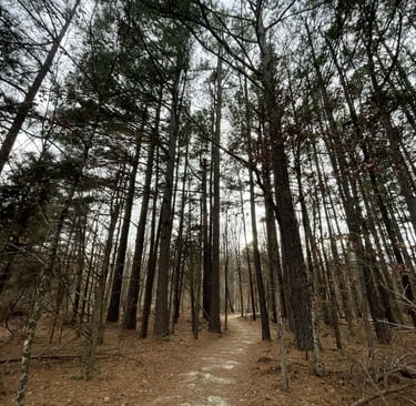
Rugged Ozark Hiking with Real Elevation and Real History
Shepherd Mountain offers hiking that actually feels like a mountain—solid elevation gain, rocky footing, and long views that remind you why you climbed in the first place. Set in the Arcadia Valley of the Missouri Ozarks, these trails wind through natural rock, old corridors of use, and overlooks shaped by both geology and history.
This isn’t a paved path through the woods. It’s honest terrain, rewarding climbs, and quiet moments broken only by the sound of wind—or the occasional rider dropping into a line below.
Choose Your Route to the Top
Steep / Less Steep Loop (approx. 2.5 miles)
Two ways up, one way to earn it.
Steep follows an old mining and logging road straight up the mountain for those who like a hard push.
Less Steep takes a longer, more gradual approach while still delivering plenty of elevation.
Both routes merge near the top and continue toward the hub where shuttles stop, before meandering back down to where you started.
Along the way, you’ll pass shale piles, ravines carved by early surface mining, and wide corridors that once moved iron and timber off this mountain.
Coolio’s Climb (2.3 miles)
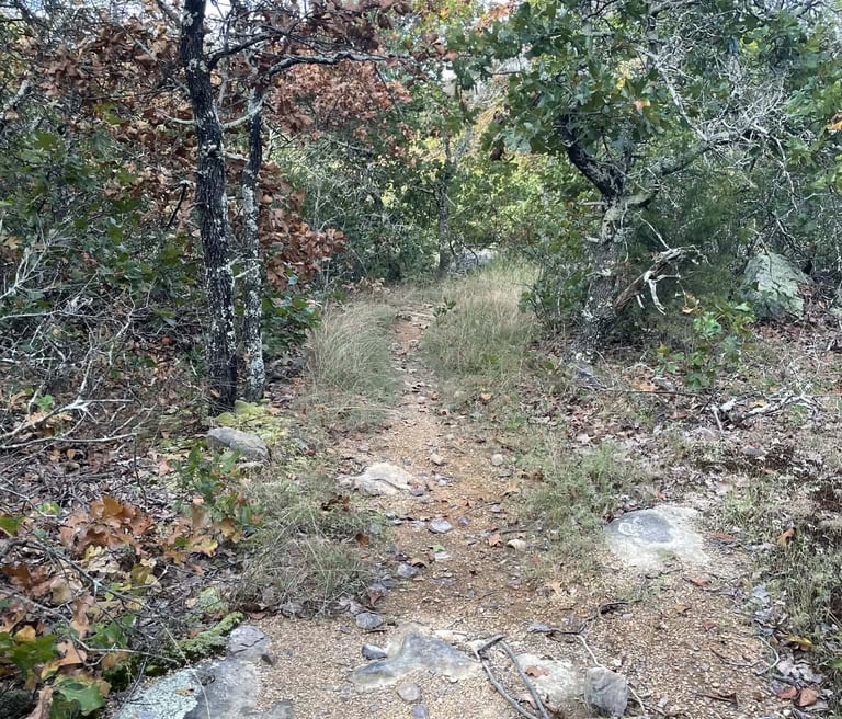
A scenic, moderately challenging climb that trades straight-up effort for flow and views. Expect rocky terrain, a water crossing, and endless Ozark character. It’s a favorite for families, casual hikers, and anyone looking to enjoy the mountain without rushing the summit.
Good footwear recommended—this trail keeps you honest.
The Lake Climb (2.3 miles)
Starting at Shepherd Mountain Lake, this multi-use trail (hike/bike) meanders up the mountain to the top, through forests that until recently rarely saw people. Expect to see abundant wildlife.
Views Worth Stopping For
Once the trails merge near the top, you’ll pass two notable overlooks:
Cannon Overlook One – An early glimpse into the valley below (currently being improved).
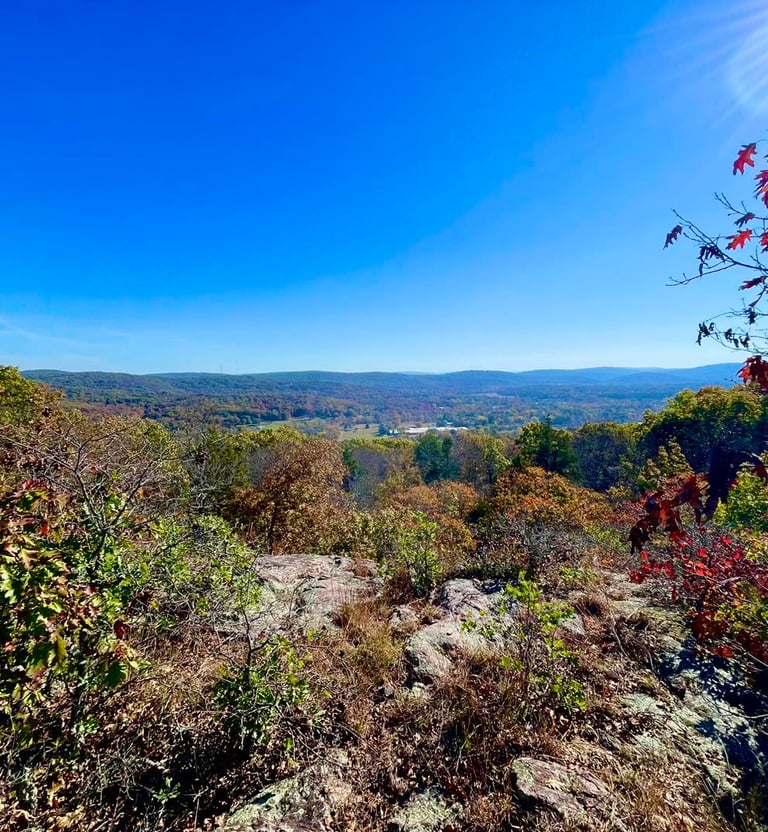
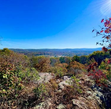
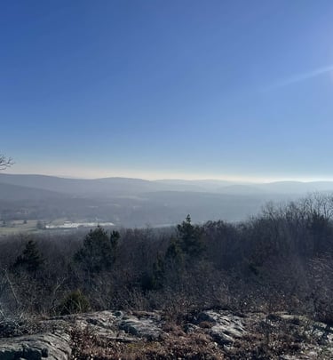
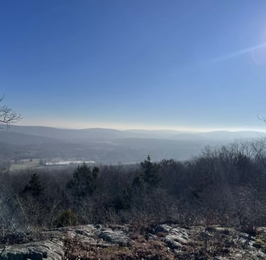
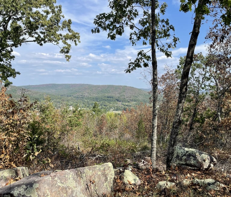
Cannon Overlook Two – The highest overlook, offering sweeping views of the surrounding mountains and valleys, especially striking when the leaves are off the trees. From here, you can see where Confederate cannons once aimed toward Fort Davidson during the Battle of Pilot Knob. (Viewed from Shuttle Road)
This is a good place to catch your breath—and take it all in.
The Way Down
From the summit, continue around and down the mountain following marked routes. Expect rocky footing and, during wetter seasons, water crossings near the bottom. For a longer day, you can descend via Coolio’s Climb, adding distance and variety.
Keep an eye out where hiking and biking trails cross—this is shared mountain space. A quick cheer for a rider goes a long way.
Extras for the Adventurous
Shuttle Access for Hikers: Ride the shuttle to the top and hike down to the overlooks, then finish on foot or shuttle back. Passes available at The Wheelhouse ($5 per person).
Bouldering Areas: Six-plus informal bouldering locations scattered around the mountain for those who like to climb with their hands.
Be Ready for the Mountain
Wear sturdy hiking shoes—rock is part of the experience.
Bring water; the climbs are real.
Stay on marked trails to protect the terrain and yourself.
Bug spray and sunscreen are always a good call.
Shepherd Mountain hiking isn’t about checking miles—it’s about moving through a place that has been worked, shaped, and earned over time.
Shepherd Mountain Lake Park
Explore Shepherd Mountain Lake's scenic paths.
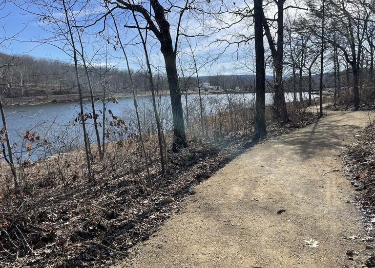
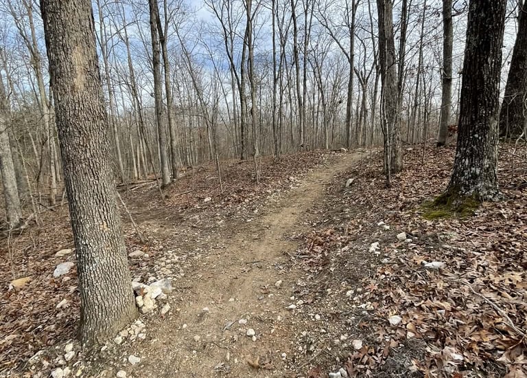
Cross Country Trail, behind SM Lake, 2.3 miles
The new Lourwood Trail at Shepherd Mountain Lake is a major step forward for outdoor recreation in Arcadia Valley — and a project with real community roots. Made possible through RTP grant funding this new community trail creates a welcoming space for more people to experience Shepherd Mountain, whether they’re out for a walk, a family outing, or simply looking to enjoy the lake and mountain scenery. Built by TrailCru, the trail reflects the same quality and purpose-driven design that continues to shape Shepherd Mountain into a destination for both locals and visitors. Named in honor of Bob Lourwood, the mayor who was in office when Shepherd Mountain Bike Park was first envisioned, the trail celebrates a leader whose support and presence have helped make this mountain what it is today. Bob is a true staple of the community, and it’s fitting that this trail carries his name.
Alongside the Lourwood Trail, the new XC trail adds another way to experience Shepherd Mountain Lake as part of the larger Shepherd Mountain Park system. Designed for both biking and hiking, the XC trail gives riders and hikers a chance to explore a different side of the mountain — one built around movement, scenery, and adventure at a different pace than the downhill park. Together, these new trails expand what Shepherd Mountain offers, creating more opportunities for families, first-time visitors, and longtime trail users alike. Whether you’re coming to walk the Lourwood Trail, ride the XC route, or spend the day exploring the lake area, this next phase is all about growing access, honoring local leadership, and building something the whole community can enjoy.